
The Heart of Niagara
Welland’s position in the heart of the Niagara peninsula gives the city its undeniable charm and energy.
It’s a great place to set down roots and enjoy life near one of the world’s most popular destinations.
A family-oriented community, Welland is a great place to live, work, and play. With a work-life balance that helps families thrive, the city offers all the conveniences of a medium-to-large city, along with an enormous variety of amenities in the surrounding areas.
Family essentials are readily available: modern community centres and youth activities, top-tier hospitals and medical care, and a wide choice of educational institutions spanning from primary to postsecondary levels.
What’s most impressive about living in Welland is its access to a full range of activities, all within a short 20 or 30 minute drive.
More to Explore in NIAGARA

The Mighty Falls!
Niagara Falls never ceases to inspire awe. And with so many nearby related attractions, there’s always something new to see and experience.

Entertainment Galore
World-class talent comes to perform at several of Niagara’s venues, notably the OLG Stage in the Fallsview district, and the Performing Arts Centre in downtown St. Catharines

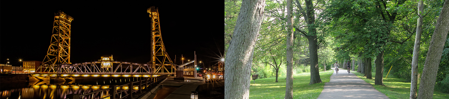
Be One With Nature
Escape the city by visiting one of many conservation areas, parks, or beaches. Niagara’s many hiking and cycling trails are another great way to enjoy the outdoors.

Wine not?
Whether or not you are an oenophile, the exceptional food and beautiful scenery make Niagara’s 95+ wineries a popular outing for visitors and locals alike.
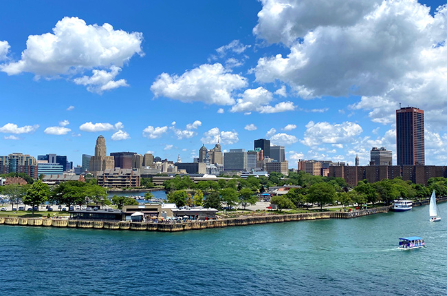
Head “Over the River”
Niagara residents have easy access to a whole new world of activities in nearby USA. Buffalo has its Bills, the Sabres, travelling Broadway shows, plenty of shopping, and of course, its chicken wings!

Festival Fun
Niagara’s 12 municipalities all thrive on hosting fun. The renown Grape & Wine Festival, Port Colborne’s Canal Days, and the Winter Festival of Lights are among dozens of annual events sure to entertain and engage.